

'Decisions on school closures will be made locally' says Education Minister with blizzard forecast later this week
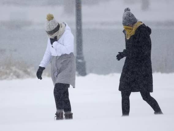

The Education Minister announced today that over the coming days with a national weather warning in place, 'decisions on school closures will be made locally by each school individually depending on the circumstances in their area'
Education Minister Richard Bruton said: "There is a status orange warning in place for the evening and overnight for some counties. There is a yellow warning for some other counties. Decisions on school closures will be made locally by each school individually depending on the circumstances in their area."
He said: "We will continue to monitor the situation as it progresses later in the week and will follow any advice from the National Emergency Coordination Group."
Today, there will be scattered snow showers throughout the day , accumulating to potentially disruptive levels. The highest level of accumulations will be across Leinster.
There's a risk of some showers bringing a rumble of thunder. Lowest temperatures will range minus three to minus six degrees, in a moderate to fresh northeasterly wind.
Tomorrow, Wednesday, there'll be further scattered falls of snow across Ireland. These snow showers will be heaviest and most frequent across the eastern half of the country, with further accumulations expected, especially for east Leinster, however, all areas will be at risk. There will be day time temperatures of minus one to plus two degrees. Fresh to strong and gusty easterly winds will make it feel colder, owing to a significant wind chill factor.
There'll be further snow showers tomorrow night. All along the east will be most affected leading to further accumulations, the showers will drift through the midlands and into western areas at times. Lowest temperatures will be between minus five and minus seven degrees. There will also be a significant wind chill factor, in fresh to strong easterly winds.
Temperatures during the day on Thursday are expected to be between minus two and plus two degrees. There will be strong and gusty easterly winds which will give a wind chill as low as minus 10 at times. During the day there will be further scattered snow showers, which will become increasingly heavy and frequent.
Later on Thursday evening and in to Thursday night snow will become widespread through the country, with steady falls. Winds will be strong and gusty and temperatures will be down to minus 4 degrees. With the strong winds and persistent falls of snow, accumulations will increase and there'll be blizzard conditions and drifting likely.