

Snow could fall this weekend as temperatures drop into negative values
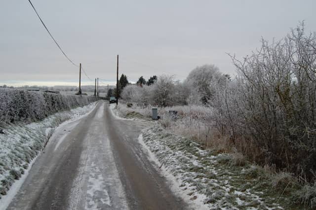

We could be due to see our first bit of snow this winter in the coming days as temperatures begin to plummet towards the negative values. Such cold temperatures will not be felt until Sunday night however, though there could be plenty of scattered showers breaking out all over the country in the intervening time.
There'll be some scattered showers tonight, mainly in parts of the north and west, and some are possible too near the east coast, but otherwise, the showers will die away to give a mainly dry night with some clear spells. Cold; with lowest temperatures of 2 to 6 degrees in a mostly moderate northerly wind; though winds will be fresh to strong and gusty in exposed coastal parts.
Tomorrow, Saturday, will be cold, bright and breezy with plenty of sunshine. There'll be scattered showers too, some heavy, with these mainly affecting parts of the north and west. The showers will be dragged down, in a cold moderate to fresh northerly airflow, which will be strong at times in exposed coastal parts. Highest temperatures of 7-10 degrees and feeling colder due to the northerly wind.
Saturday night will become mostly dry as showers becoming confined to western and northern coastal areas. It will be cold with good clear spells and moderate north to northwesterly breezes. Lowest temperatures fall to between 1-5 degrees with grass frost.
Sunday will bring scattered showers that will continue to affect the northern and western coastal counties with the odd shower along the east but the midlands and south will be mostly dry with good sunshine. Top temperatures will reach just 7-9 degrees. Sunday night will be mostly dry with just isolated showers along Atlantic coasts. Lowest temperatures will be -1 to +3 degrees with widespread ground frost.